|
The Eastern Caribbean
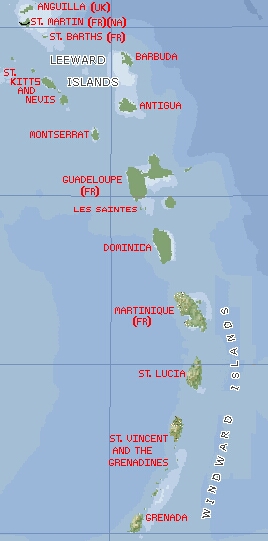
The Eastern Caribbean was our playground for much of 2002. We
started in St. Martin, in the
upper left corner of the map, and basically zig-zagged up and down the
chain. We skipped Antigua and Barbuda as they are upwind of the rest
of the chain, making them more difficult to get to.
For the purposes of this website, we've divided the islands into the
Leeward (northern) and the Windward (southern) Islands. These names
have been used for centuries as the tradewinds usually blow from slightly
south of east.
The Eastern Caribbean was all old cruising grounds for Jon and Sue as they'd spent 6
years here in the '80s, but it was all new to Christopher and Amanda and
the many visitors who came down to meet us.
Click on the islands to the right to go to that part of the website.
A note on History. The pre-European history of the Eastern Caribbean
islands all follows a similar story. The earliest inhabitants were the Arawaks,
a peaceful farming and fishing peoples from South America who
arrived by canoe several thousand years ago. Following the Arawaks, came
the more war-like Carib Indians who attacked Arawak villages, killing and
eating the men and enslaving the women. It was the Caribs who either
repelled or welcomed the earliest European visitors (including Columbus).
Most of the Carib people were either killed or died of European diseases
by the end of the 18th century. Today only a few Carib settlements remain
in the eastern Caribbean, on the islands of Dominica
and St. Vincent. |
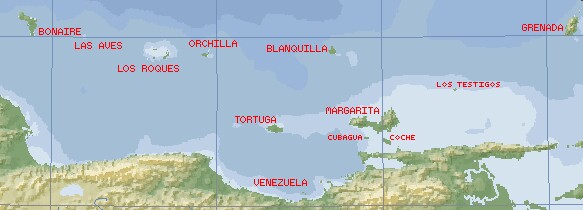
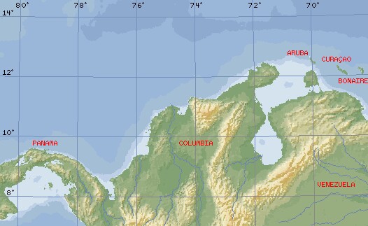
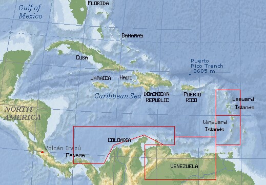 Below you will find additional maps with more detail on each of the areas that
we went to in the Caribbean. In general, we started at the top of the
Leeward Islands in the Eastern Caribbean,
sailed down through the Windward Islands,
across to Venezuela, and then continued west (downwind,
of course) to the San Blas Islands of Panama.
Click on the map to go to that area of the website.